


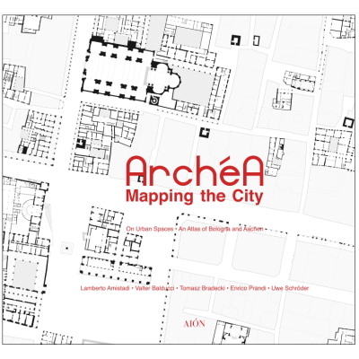
An Atlas of Bologna and Aachen
Partners:
Alma Mater Studiorum Università di Bologna, Italy
Aachen University – Rheinisch Westfälische Technische Hochschule, Germany
Politechnika Slaska, Poland
Università degli Studi di Parma, Italy
Ecole nationale supérieure d‘architecture de Normandie, France
Table of Contents:
– Prologue
– Mapping the City (L. Amistadi)
– I. Naming Places. The Monumental Structure of the City (L. Amistadi)
– II. Warm and Cold Spaces. A Phenomenological Approach to Mapping the Spaces of the City (U. Schröder)
– III. Accessibilities. Pedestrian Friendly Public Spaces. Mapping with Models (T. Bradecki and A. Twardoch)
– IV. Compact City. Densification Strategies of the Built Space. (E. Prandi and P. Strina)
– V. City Nature. The Natural Space as Urban Structure. (Pierre-Antoine Sahuc)
– Epilogue. Mapping the City. (F. Visconti and R. Capozzi)
The atlas collects 41 drawings related to two cities, Bologna and Aachen, drafted within the strategic partnership of the ArchéA program, which stands for Architectural medium-sized European city Arrangement. It consists of a partnership which includes five universities and four countries all engaged in the study and design of the spatial and architectural aspects of medium-sized European cities: Alma Mater Studiorum University of Bologna – Cesena Campus (IT), Rheinish-Westfälische Technische Hochschule of Aachen (DE), Politechnika Śląska (PL), University of Parma (IT), Ecole nationale supérieure d’architecture de Normandie (FR). These drawings fundamentally represent the cities taken as case studies according to three frameworks and two scales: the territorial scope at the 1:10,000 scale, the historic center at the 1:2,000 scale and the outskirts at the 1:2,000 scale. The drawings produced by the members of the research group are preceded by the figures/ground plans of Bologna and Aachen, also at the same scale and according to the same framework. In other words, each of the five ArchéA partners redrew the same areas of the city according to the same framework and the same scale, but with five different approaches or classification grids. These redrawings not only allow comparing the different approaches, which correspond to different European schools of architecture, but subject the reality of the urban phenomenon to a solicitation according to which the intentional nature of the representation takes on an epistemological and strategic value


News
Show all


Show more