


Start - Aktualności - Silesian GIS Day 2025 is behind us!

Silesian GIS Day 2025 is behind us!
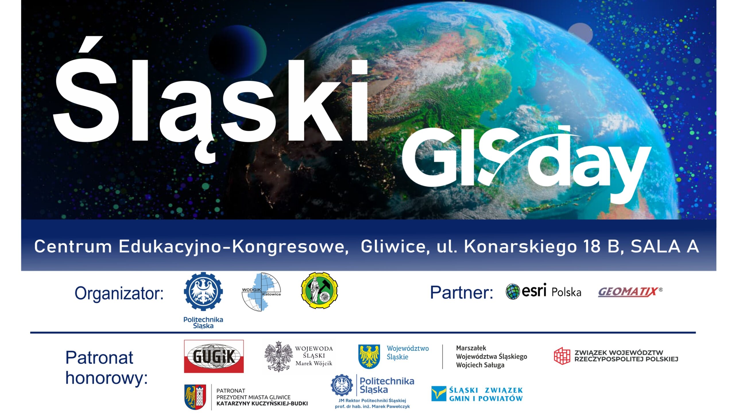
On November 19th, 2025, in the Education and Congress Centre of the Silesian University of Technology, celebrations of the World Day of Geographic Information Systems- the Silesian GIS Day 2025- took place. The event was co-organized by: Silesian University of Technology including the Faculty of Mining Safety Engineering and Industrial Automation and the Provincial Centre for Geodesic and Cartographic Documentation in Katowice.
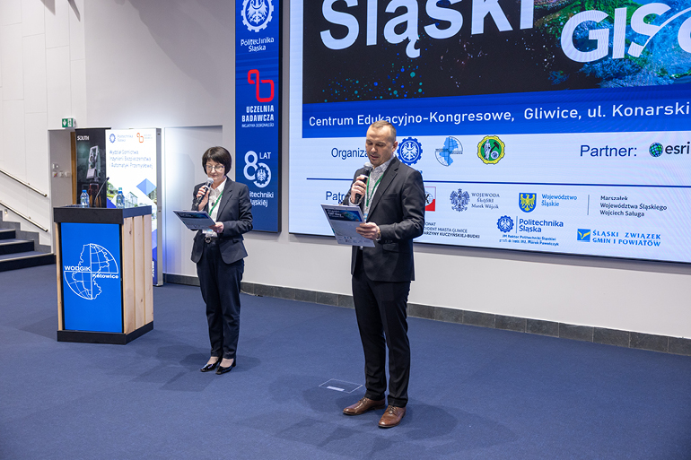
The official opening of the event was attended by: Vice-Rector for General Affairs at SUT - Prof. Dr Hab. Eng. Bożena Skołud, The Dean of the Faculty of Mining, Safety Engineering and Industrial Automation , Dr Hab. Eng. Krzysztof Filipowicz, Prof. SUT, Member of the Board of the Silesian Voivodeship Joanna Bojczuk and Vice-President of the City of Gliwice Jarosław Zięba.
Vice-Rector for General Affairs at SUT - Prof. Dr Hab. Eng. Bożena Skołud welcomed the participants at the Silesian University of Technology and stressed the importance of the subject matter of the event for many areas of life and economy.
The Dean of the Faculty of Mining Safety Engineering and Industrial Automation also invited participants to the Silesian University of Technology.
- At our Faculty we conduct education in the field of geodesy and cartography. With us you can deepen this knowledge and then become a specialist in this field – said Dr Hab. Eng. Krzysztof Filipowicz, Prof. SUT.
GIS Day is a global event. It is celebrated all over the world and is dedicated to new GIS solutions in the fields of data science, measurement, and computer science. It was first organized in 1999.
- GIS ( Geographic Information Systems ) technologies relate to the use of data from various sources to support effective management of decision-making processes, in particular in the aspect of the implementation of tasks in the field of geodesy and cartography and spatial information systems - explained Dr Hab. Eng. Violetta Sokoła-Szewioła, Prof SUT - Vice-Dean for Education and Cooperation at the Faculty of Mining Safety Engineering and Industrial Automation. During the event organized at the Silesian University of Technology, it was these issues that were brought closer to the participants – secondary school pupils, students, and not only them.
- The aim of our event is to promote GIS technology among all users. GIS technology is used by us almost every day, which we do not even realize this. More than 80 percent of the decisions a person makes every day are decisions that use data collected in geographic information systems.
These are decisions related to space, the location of places and objects. An ideal example of such use is, for example, the Google Maps application, which we use regularly.
The event was co-organized by the Provincial Centre for Geodesy and Cartographic Documentation in Katowice, while ESRI Polska and Geomatix were the partners.
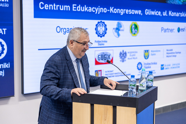
- We want to show young people that there is a lot going on in the data field. Databases are released from the level of municipalities, starosts, through marshals, up to numerous central resources. This process is constantly evolving. For example, from mid-February next year, the register of real estate prices will also be open as data that can be used without fees – said Artur Kaczmarek, director of the Provincial Centre for Geodesic and Cartographic Documentation in Katowice.
Because of security, which is very important today, it is worth knowing that data is not always available online. There is GPS signal interference, we have problems with the app or battery on the phone. So, it is worth remembering about traditional maps in printed form – he added.
Why should young people be interested in accessing spatial data? The answer is simple, experts in this field will be needed in the near future, because this market is rapidly developing, for example in the area of drones or in the area of broadly understood digitization.
The organizers of the event argued that from public health to marketing, from climate science to logistics, knowledge of the GIS system becomes a basic competence for professionals in many fields. This idea pays tribute to the growing impact of GIS and its professionals, who combine different disciplines to tackle complex, real-world challenges using spatial data insights. It also applies to GIS specialists in the cartography department.
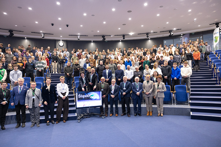
The Silesian GIS Day 2025 was attended by over 450 people, including secondary school pupils from the Silesian Voivodeship and interested students, who after listening to lectures took part in a quiz with numerous awards.
The event took place under patronage of:
- His Magnificence Rector of the Silesian University of Technology, Prof. Marek Pawełczyk,
- Chief Geodetic Officer of the country Andrzej Żylis,
- Marshal of the Silesian Voivodeship Wojciech Saługa,
- Governor of the Silesian Voivodeship Marek Wójcik,
- Mayor of Gliwice Katarzyna Kuczyńska - Budka,
- Union of voivodships of the Republic of Poland,
- Silesian Union of Municipalities and Poviats.

fot. Jan Szady